
Driving is by far the best way to explore Ireland — public transport reaches the cities and main towns, but the places that make Ireland remarkable (the Conor Pass, the Beara Peninsula, Malin Head, Glenveagh) are accessible only by car. Self-driving gives you the flexibility to stop anywhere, leave early, and take the scenic road rather than the main road.
Ireland drives on the left — the same as the UK, Australia and Japan. For visitors from right-hand traffic countries (USA, most of Europe), this takes a day to feel natural. The hardest adjustment is not the side of the road but the width of rural roads: many lanes in the west of Ireland are single-track, requiring you to pull into passing places when meeting oncoming traffic.
Speed limits in Ireland are in kilometres per hour (km/h), not miles per hour. National roads (marked N) have a limit of 100km/h, regional roads (R) 80km/h and local roads (L) 60km/h (reduced from 80 in 2025). In built-up areas the default is 50km/h, with many city and residential streets now 30km/h. GPS mapping apps (Google Maps, Apple Maps, Waze) are all reliable in Ireland and handle rural routing well.
Highlights
- Drive on the left — right-hand drive hire cars; give way to traffic from your right at roundabouts
- Speed limits in km/h: 30–50 in built-up areas, 60 on local (L) roads, 80 on regional (R) roads, 100 on national (N) roads, 120 on motorways
- Many rural roads in the west are single-track — pull into passing bays when meeting oncoming vehicles
- Fuel: petrol and diesel available at most towns; LPG and EV charging are patchier in rural areas
- Car hire excess can be €2,000+ — take the collision damage waiver or a separate excess insurance policy
- Tolls: the M50 Dublin ring road uses barrier-free e-tolling — pay online by 8pm the following day or face a fine
Attractions in this guide


Local tips
- →Book car hire early — availability drops significantly for peak summer weekends, especially at Cork and Kerry airports
- →Manual (stick shift) is the traditional, cheaper default; automatics are increasingly available but cost more and can sell out — book one early if you want it
- →The M50 toll around Dublin must be paid online (eflow.ie) by 8pm the following day — hire car companies pass on fines and admin fees if you miss it
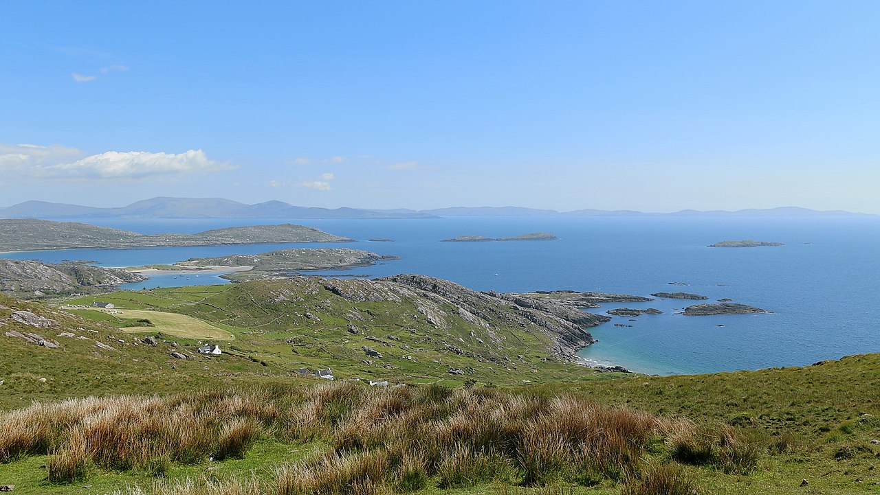
- →Allow more time than the sat-nav says on coastal roads — the R559 on the Ring of Kerry and the Slea Head Drive in Dingle are slow, beautiful roads where you will stop frequently
- →Gap of Dunloe is closed to private cars in peak season — take a jaunting car from Kate Kearney's Cottage or cycle in; Slea Head Drive sees heavy traffic in July and August, so go early morning
- →Sheep and cattle on rural roads are common, especially in Connemara and Donegal — slow right down and let them pass
- →Fuel up at larger towns before heading into Connemara, Donegal or the Beara Peninsula — distances between stations can be 40–50km on remote roads
Ready to go?
Plan your Ireland trip
Getting there
Car hire is available at all major Irish airports. Book in advance and read the small print on insurance excess — most basic hire car policies have a high excess (€2,000+). Reducing the excess to zero with a Collision Damage Waiver is strongly recommended for driving on narrow rural roads.
Region
Ireland · Planning
Attractions covered
4 in this guide


